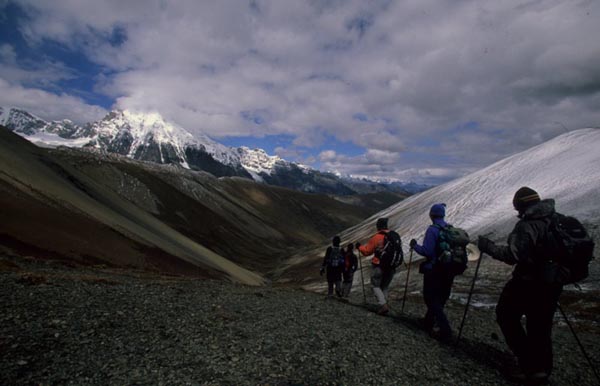
Lunana Snowman Trek
Delhi-Paro-Shana-Soi Thangthangkha-Jangothang-Lingshi-Chebisa-Shomuthang-Shomu-Robluthang-Lemithang-Laya-Halt-Laya-Rodophu-Narithang-Tarina-Woche-Lhedi-Thanza-Halt-Thanza-Tshochena-Jichu Dramo-Chukarpo-Tampetso-Tempetso-Maorothang-Nikachu Chazam-Thimphu-Paro
Day 2: Paro
 Sightseeing
Day 3: Paro
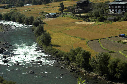
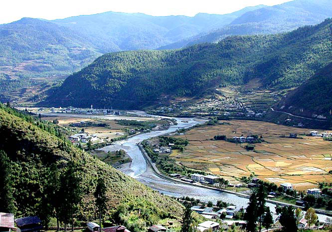
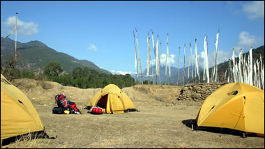
 Drive upto Drugyel Dzong where the road ends and the trek beings, following the river gently uphill through a narrowing agricultural valley. Camp is just beyond an army post. Alt. 2,800 mts., Distance 17 kms about 5/6 hours.
Day 4: Paro - Shana
 Continue uphill through the river valley. It narrows and closes in and the trail winds up and down along the drainage. There is actually considerable down on the trail. Camp is in a meadow with stone shelter.
Day 5: Shana
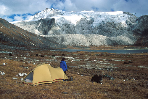
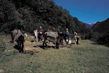
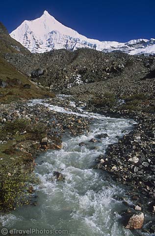
 On up the Pa Chu, pass a small army post where the valley begins to widen again. Now view of high ridges and then snow capped peaks are all around. You begin to see Yaks and Yak herders camp. Alt.4,040 mts., distance 19 kms. about 05/06 hours.
Day 6: Shana
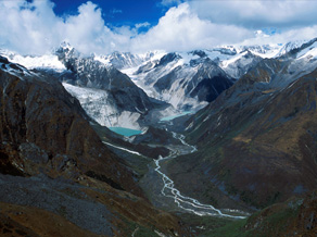
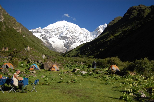
 Wide yak pastures on the way up and down the pass, possibly still some people in their yak tents depending on the time of the year you are there. Great views of Lingshi Dzong as you come down into the Lingshi basin if the weather is clear. Tserim Kang and its descending glaciers at the north end of the valley. Camp is in a stone shelter which has inside fire pit and you can sleep on the wood floor or in tent. Alt. 4,150 mts., distance 19 kms. about 5/6 hours.
Day 7: Soi Thangthangkha
 Today is the shortest walking day and you can really take it easy. On reaching camp at Chebisa village you can visit the village houses. Alt. 3850 mts., distance 19 kms about 5-6 hours.
Day 8: Soi Thangthangkha
 The walk is through wild high pastures with few people & few yaks. Cross Gobula (La means pass) . Alt. 14268 ft / 4350m. Camp here on a bench above a river, a tributary to the Mo chu which came out just below Gasa Tsachu. Alt. 4260m, distance 17kms about 6 hours.
Day 9: Jangothang
 Today is a day to start a little early. After crossing Jare La pass (4,600 mts.) you drop to Tsharithang. The valley where herds of Takins are normally seen. Overnight in camp. Alt. 14400 ft., distance 15 kms about 5 hours.
Day 10: Jangothang
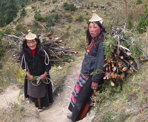
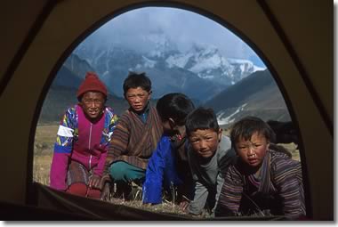
 After crossing Shingela pass alt. 16,72 ft/4,900 m you drop down again and then follow the valley. Lemithang is in the laya district and here you begin to see the wonderful children in funny hats. Camp at Lemithang beneath Kang Che Da, Great Tiger Mountain. O/N at camp (13,567 ft.) distance 19 kms about 6/7 hours.
Day 11: Lingshi
 Today is all the down hill along a winding river valley with quite a closed-in feeling. The trail splits, once going down to with the river to the camp site used by the army. The other stays high and brings you into the west side of Laya village. You can camp on a high flat bench above the east end of Laya village. Overnight in camp. Alt. 1268 ft. distance 10 kms. about 3 -4 hours.
Day 12: Lingshi
 Full day halt at Laya for updating your travel dairy and exploring the beautiful area on your own.
Day 13: Chebisa
 From Laya we descend to army camp and continue following the river till the turn off point to Rodophu. After lunch continue the climb through rhododendron bushes till we reach the camp. Distance 19 kms about 07/08 hours. Alt.4,350 mts. Overnight in camp.
Day 14: Chebisa
 Distance 17 kms about 5/6 hours. Alt. Cross Tsimola pass(4,700 mts). Overnight in camp.
Day 15: Shomuthang
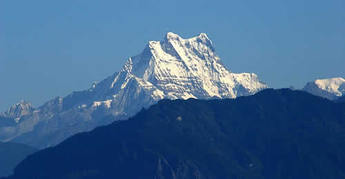
 Distance 18 kms about 6/7 hours. Cross Gangla Karchung(5,100 mts.). The view from the pass is breath taking with the view of the mountain ranges including the Masakhang, Tsendegang and Teri Gang. After the pass there is a long descent to Tarina valley. Altitude 3,980 mts. Overnight in camp.
Day 16: Shomu
 An easier walk with the walk following the river down valley. After lunch climb up 300 metres to the village of Woche. Distance 15 kms about 05/06 hours. From here the Lunana area begins. Overnight in camp.
Day 17: Robluthang
 We climb up to Kachela pass(4,480 mts.) with the stopover at Thega village. Follow the river, one of the main source of Pho Chu, till Lhedi village. Altitude 3,650 mts. Overnight in camp.
Day 18: Robluthang
 The trek continues following the river, raising gradually to Choejong village. After lunch visit the Choejong Dzong and continue towards the wide valley. Cross the bridge to reach thanza camp. 4,000 mts. 19 Kms about 06-07 hours.
Day 19: Lemithang
 Visit village houses and mix with the people of Thanza or hike in and around the camp. Overnight in camp.
Day 20: Lemithang
 Distance 18 Kms about 06-07 hours. Alt 15,744 ft. / 4,800 mts. Cross Jazela Pass (16,564 ft/5,050 mts.). Overnight at the camp.
Day 21: Laya
 Distance - 14 Kms about 04-05 hours. Alt. 16,006 ft/ 4,880 mts, Cross Lojula Pass Alt. 16,203 ft /4,940 mts.
Day 22: Laya
 Distance - 15 kms about 05-06 hours. Alt 14,731 ft. Cross Rinchenzoe Pass (16,859 ft / 5,140 mts.).
Day 23: Halt
 Distance - 20 kms about 07-08 hours. Cross Tampela Pass(15,015 ft / 4,550 mts). Pass the Umtsho Lake on which religious treasures were found by Terton Pemalingpa.
Day 24: Laya
 Today is the trek which goes all the way down hill through the Rhododendrons bushes till you reach the camp. The camp is near the Nikka Chu river. Overnight in camp. Alt. 11,844 ft. Distance - 14 Kms about 06 hours.
Day 25: Rodophu
 Distance - 23 kms about 06-07 hours. Alt. 2,650 mts. Today is your last day walk. The trail passes through the fields and villages of Sephu. Overnight in camp.
Day 26: Rodophu
 Early morning drive to Thimphu. Lunch at the Wangdi Tourist Lodge. Overnight in Hotel.
Day 27: Narithang
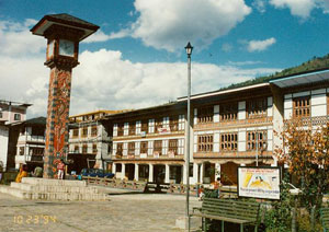
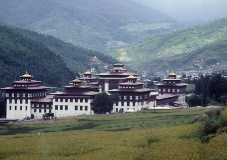
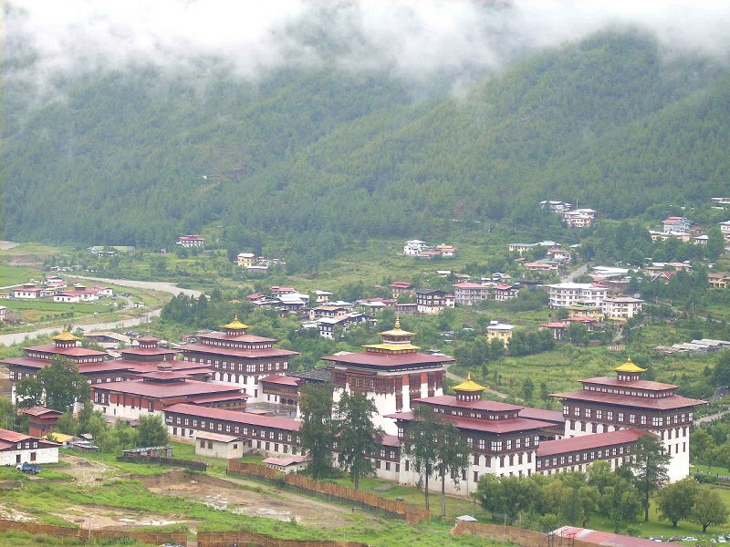
 A full day of sightseeing and shopping in Thimphu. Wander in the town, visit the handicrafts emporium. Visit the workshop where all the handicrafts are produced, if you like. Afternoon visit Tashichho-Dzong. Evening at leisure.
Day 28: Narithang
 Drive to Paro Airport for the flight to the onward destination.Season (Mid June - Mid October) Group Condition Minimum 6 Pax Climate (General) day are normally warm.And nights can at times be very cool and in winter even below the freezing point. Monsoon showers in summer (heaviest July & August) and sometimes even in Spring and Autumn. Recommendations Trek is difficult and demands top physical fitness. A physical fitness checkup is a must. Those with previous trekking experiences will be plus point.

 NA
NA