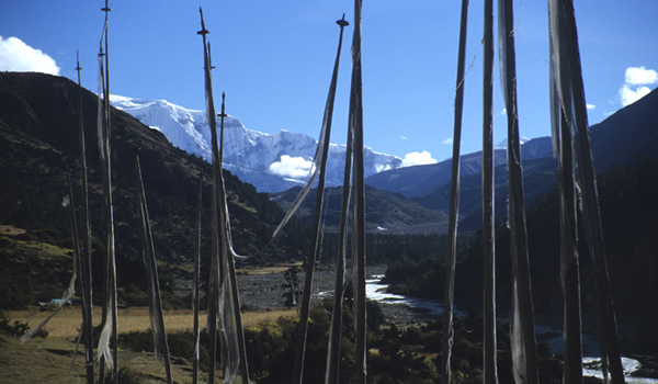
Beautiful Laya/Gasa Trek
Delhi-Paro-Taktshang-Paro-Shana-Soi Thangthangkha-Jangothang-Lingshi-Chebisa-Shomuthang-Shomu-Robluthang-Lemithang-Laya-Halt-Laya-Koena-Gasa-Tsachu-Gasa Tsachu-Goen Damji-Tashithang-Khuruthang-Thimphu-Paro
Day 2: Paro
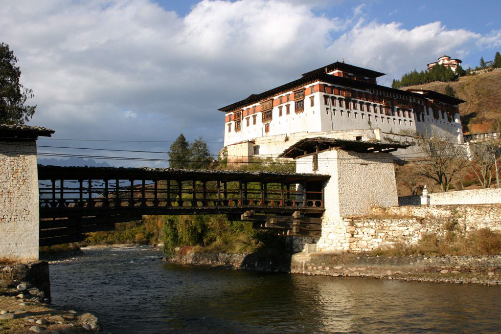
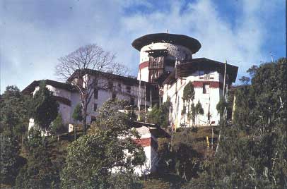
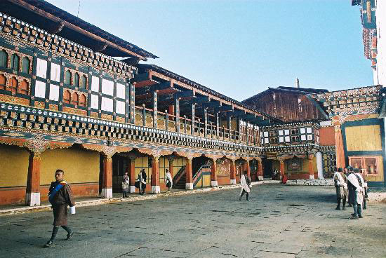
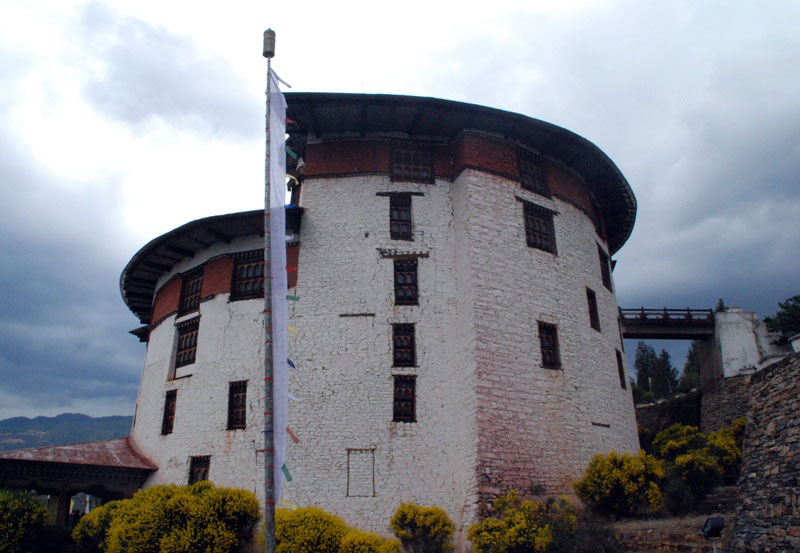
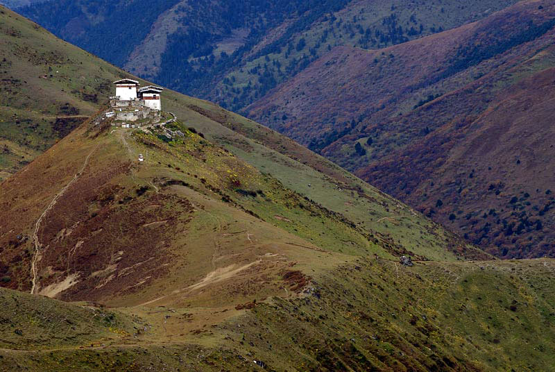
 Visit the Drukgyel Dzong, the ruined Fort, which once defended this valley from the Tibetan invasion. Mount Chomolhari, the sacred summit, reaches skyward beyond the Dzong. Also visit the Ta Dzong (National Museum).
Day 3: Paro
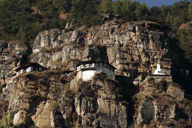
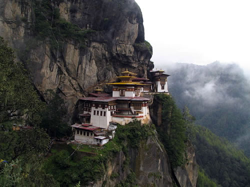
 The full day hiking to Taktshang, the Tiger'\s nest. This magical monastery clings to vertical granite cliff 3,000 mts. above the valley. Legend says the Guru Padmasambhava flew here on the back of a Tiger to meditate here.
Day 4: Paro - Taktshang
 Drive upto Drugyel Dzong where the roads ends and the trek begins. Alt. 2,800 mts. Distance: 17 kms. about 5/6 hours.
Day 5: Taktshang - Paro
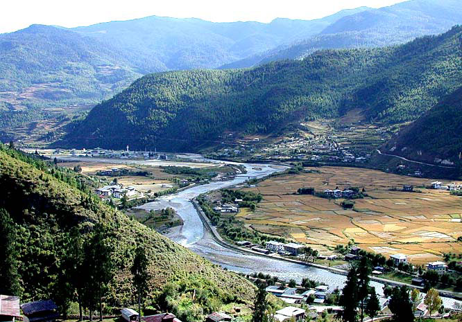
 Continue uphill through the river valley. It narrows and closes in and the trail winds up and down along the drainage. There is actually considerable down on the trail. Distance about 21 kms about 7/8 hours.
Day 6: Paro
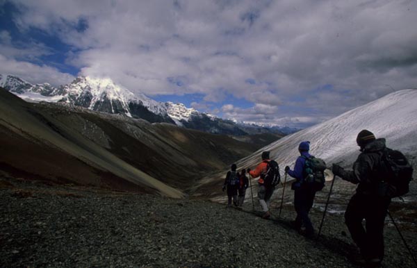
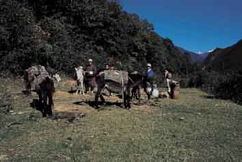
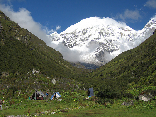
 On up the Pa Chu pass a small army post where the valley begins to widen again. Now view of high ridges and then snow-capped peaks are all around. You begin to see Yaks and Yak herders camp. Lunch will be probably at one of these camp beneath a ruined fortress at the basis of Chomolhari. Alt. 4,040 mts, distance 19 kms, about 5-6 hours.
Day 7: Paro - Shana
 Wide yak pastures on the way up and down the pass, possibly still some people in their yak tents depending on the time of the year you are there. Great views Lingshi Dzong as you come down into Lingshi basin if the weather is clear. Tserim Kang and its descending glaciers at the north end of the valley.
Day 8: Shana
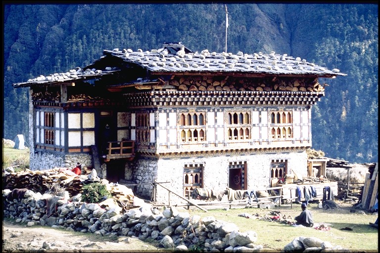
 Today is the shortest walking day and you can really take it easy. On reaching camp at Chebisa village you can visit the village houses. Alt. 3850 mts., distance 19 kms about 5-6 hours.
Day 9: Shana
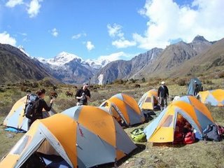
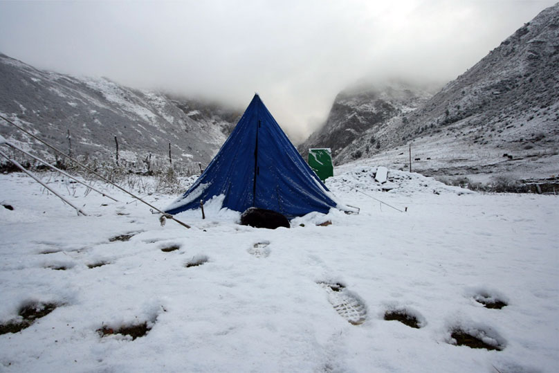
 The walk is through wild high pastures with few people & few yaks. Cross Gobula (La means pass) . Alt. 14268 ft/ 4350m. Camp here on a bench above a river, a tributary to the Mo chu which came out just below Gasa Tsachu. Alt. 4260m, distance 17kms about 6 hours.
Day 10: Soi Thangthangkha
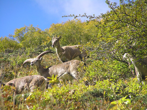
 Today is a day to start a little early. After crossing Jare La pass (4,600 mts.) you drop to Tsharithang. The valley where herds of Takins are normally seen. Overnight in camp. Alt. 14400 ft., distance 15 kms about 5 hours.
Day 11: Soi Thangthangkha
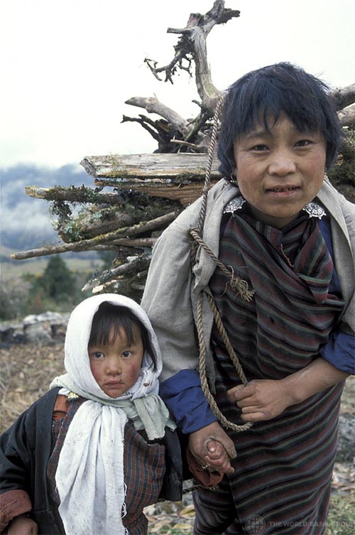
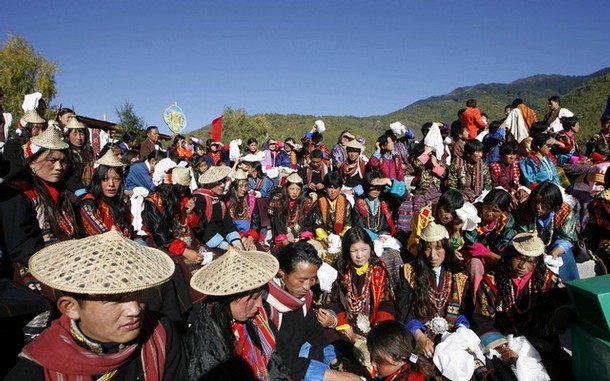
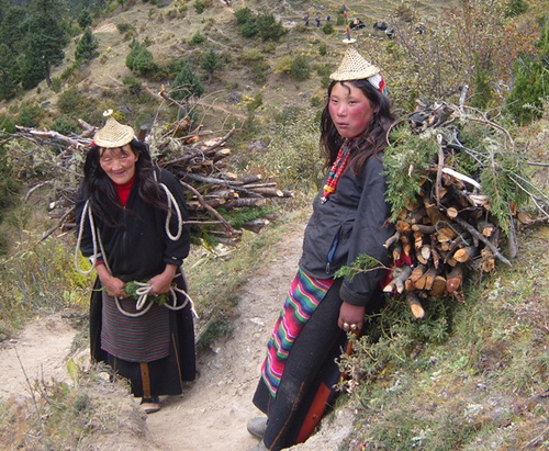
 After crossing Shingela pass alt. 16,72 ft/4,900 m you drop down again and then follow the valley. Lemithang is in the laya district and here you begin to see the wonderful children in funny hats. Camp at Lemithang beneath Kang Che Da, Great Tiger Mountain. O/N at camp (13,567 ft.) distance 19 kms about 6/7 hours.
Day 12: Jangothang
 Today is all the down hill along a winding river valley with quite a closed-in feeling. The trail splits, once going down to with the river to the camp site used by the army. The other stays high and brings you into the west side of Laya village. You can camp on a high flat bench above the east end of Laya village. Overnight in camp. Alt. 1268 ft. distance 10 kms. about 3 -4 hours.
Day 13: Jangothang
 Visit Laya village houses or high above the camp.
Day 14: Lingshi
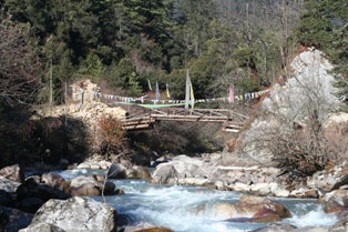
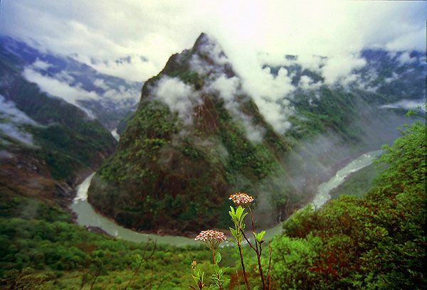
 The trail winds up and down along the river valley around natural obstacles and affording breathtaking views of crashing river, feeder streams and water-falls. Overnight in camp. Alt. 12,628 ft, distance 19 kms about 7 hours.
Day 15: Lingshi
 Enroute cross Balena pass alt. 374/12267 ft. After pass the trail is all the way down hill till you reach camp. The camp is near the Gasa Dzong. Overnight in camp. Alt. 9250 ft , distance 17 kms anout 6/7 hours.
Day 16: Chebisa
 After a late breakfast trek to Gasa Tsachu (Tsachu means-Hot spring). After lunch relax in the hot spring. Overnight in camp.
Day 17: Chebisa
 After the climb away from Gasa Tsachu the trail winds through rolling hillsides with vistas of fields, villages and Oak and pine trees. Gasa Dzong will be visible behind you, glued to the valley wall, seeming to float in space. Overnight in camp. Alt. 2280m, distance 21kms about 7 hours.
Day 18: Shomuthang
 The trail descends from the high agricultural benches above the Mo chu into a lush semi-tropical gorge filled with banana trees, Creepers and an occasional monkey. Distance 17 kms about 5/6 hours. Where at Tashithang we meet the transportation.
Day 19: Shomu
 The drive to Thimphu will take about 3 hours. Enroute cross Dochula pass alt. 10,000 ft. (approximate) from the pass if the weather is clear you will have a beautiful views of the snow capped mountains. Stop at Dochula cafeteria for a hot cup of tea and then drive to the capital of Bhutan (Thimphu). Overnight at the Hotel.
Day 20: Robluthang
 Drive to International Airport at Paro for onward flight.

 Assistance upon arrival. Evening at leisure. Dinner and overnight at the hotel.