Chomolhari Trek
Delhi-Paro-Shana-Soi Thangthangkha-Jangothang-Halt-Jangothang-Lingshi-Halt-Lingshi-Shodu-Barshong-Dolam Kencho-Dolman Kencho-Thimphu-Sightseeing-Thimphu-Paro
Day 2: Paro
 Sightseeing
Day 3: Paro
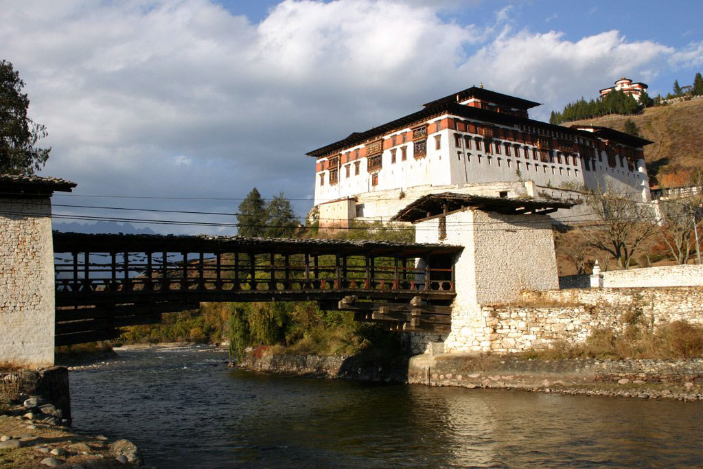
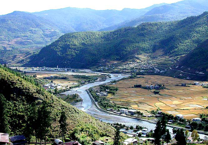
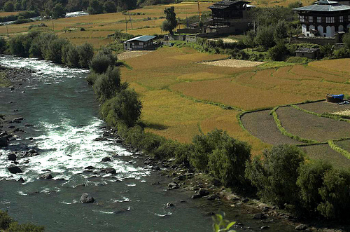
 Drive upto Drugyel Dzong where the road ends and the trek begins, following the river gently uphill through a narrowing agriculture valley. Lots of homes, kids and dogs can be seen. Camp is just beyond an army post. Alt. 2800 mts, Distance 17 kms, about 5-6 hours walk.
Day 4: Paro - Shana
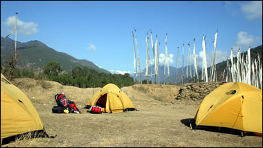
 Continue uphill through river valley. It narrows and closes in and the trail winds up and down along the drainage. There is actually considerable down on trail. Camp is in a meadow with stone shelter TAB has built for the trekkers. Distance is about 21 kms. 7/8 hrs.
Day 5: Shana
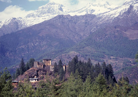
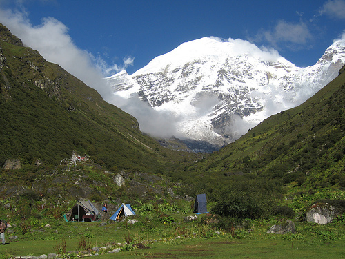
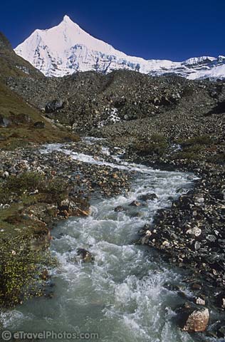
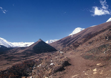
 Up the Pa Chu, you will pass a small army post where the valley begins to widen again. Now views of high ridges and then snow-capped peaks are all around. You begin to see Yaks and Yak herders camp. Lunch will be probably at one of these camp beneath a ruined fortress at the base of Chomolhari. Alt. 4040 mts, Distance -19 kms., about 5-6 hours walk.
Day 6: Shana
 Trek upto Tshophu for fishing or there are stupendous day hike in 3 directions - Chomolhari and it'\s subsidiary are directly west, Jichu Drake to the north, unclimbed summits and ridges to the east.
Day 7: Soi Thangthangkha
 Wide yak pastures on the way up and down the pass, possibly still some people in their Yak tents depending on the time of the year you are there. Great views of Lingshi Dzong as you come down into the Lingshi basin if the weather is clear. Tserim Kang and its descending glaciers at the north end of the valley. Camp is in a stone shelter TAB has built for the trekkers. It has an inside fire pit and you can sleep on a wood floor or in tent. Alt. 4150 mts., Distance - 19 kms., about 5-6 hours walk.
Day 8: Soi Thangthangkha
 On the day halt at Lingshi,a day excursion to Tshokha (lake) i.e, Base camp of Jichu Drake can be done. During the excursion hundreds of Blue sheep, Musk deer can also be seen on the way. Alt. 4500 mts., Distance - 15 kms., about 3-4 hours walk.
Day 9: Jangothang
 The trail ascends upto the Yalila pass (4820 mts.). From the pass Mount Chomolhari, Tserim Kang and Masagang can be seen on a clear day. There is actually considerable down on trail. Camp is in a stone shelter TAB has built for the trekkers. It has an inside fire pit. Alt. 3963 mts., distance 22 kms., about 7-8 hours walk.
Day 10: Jangothang
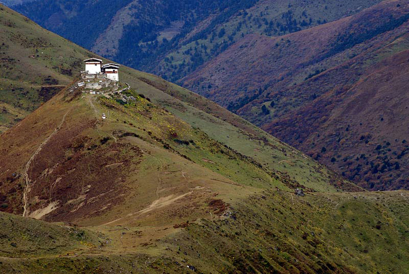
 Follow the Thimphu -chu through the forest of Rhododendrons, water falls, it narrows and closes in and the trail winds up and down along a drainage. Ascending up to the ruins of Barshong Dzong. Camp just below ruined fortress with stone shelter TAB has built for the trekkers. Alt.3785 mts, Distance - 13 kms., about 3-4 hours walk.
Day 11: Halt
 Descending down to meet Thimpu-Chu following gradually through the forest of thicker Rhododendrons, and ascending upto pasture land. Camp in a meadow. Alt. 3628 mts, distance 11 kms., about 3-4 hours walk.
Day 12: Jangothang
 Continue up-hill through the forest to a small pass. The trail winds up and down along the drainage. The wild animal like Languor can be seen. When at Dodina we meet the transportation. Distance - 14 kms., about 4-5 hours walk. Overnight at Hotel.
Day 13: Lingshi
 A full day of sightseeing and shopping in Thimphu.
Day 14: Lingshi
 Morning transfer to the airport for the flight to the onward destination.

 by Druk Air