Birding Tour
Paro-Thimphu-Punakha-Wangduephodrang-Punakha-Gangtok-Trongsa-Bumthang-Ura-Limithang-Mongar-Trashigang-Mongar-Bumthang-Thimphu-Paro
Day 1: Paro
 Arrive Paro and welcome by our airport representative and transfered to hotel.Overnight stay at the hotel.
Day 2: Paro
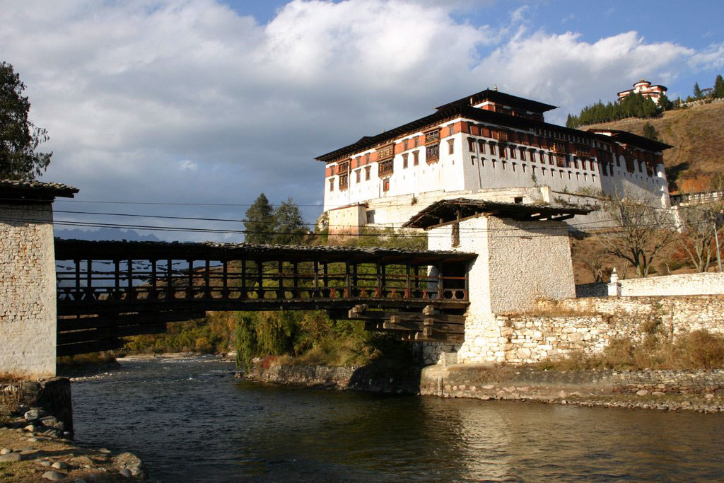
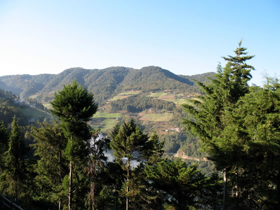
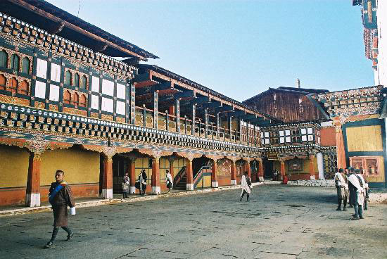
 The altitude of Paro valley ranges from 2,150 - 2,950 m and the ideal birding spots are through the farmlands, the lower and upper broadleaved evergreen forests, the riversides, subalpine forests and shrubberies. The valley also possesses wealth of cultural attractions such as Ta Dzong (National Museum), Rinpung Dzong, Kyichu Lhakhang and Taktsang Lhakhang.Overnight stay at the hotel.
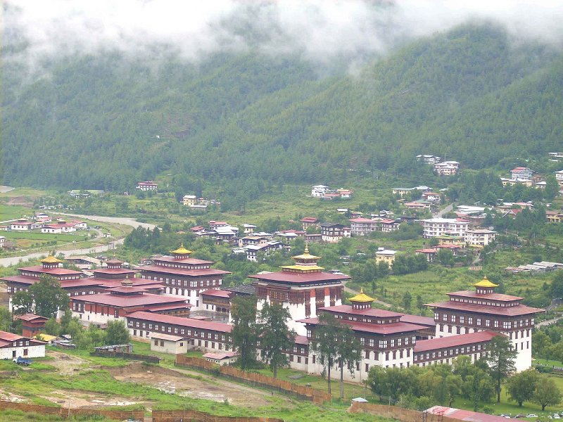
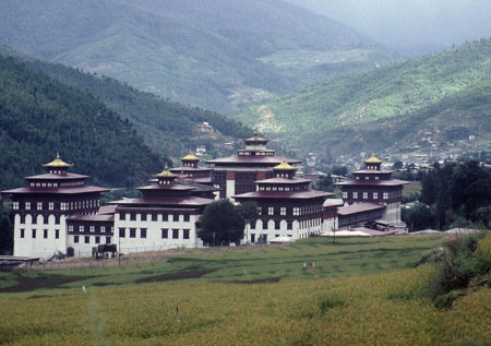
 After breakfast drive to Thimphu, the modern capital town of Bhutan. Later explore this beautiful upland valley. Relatively dry, Thimphu valley is surrounded by fine stands of Blue Pine and temperate evergreen forests. The increasing human settlement has pushed birding spots at least 10 km and now the ideal areas for birding are around the stream near Motithang and in and around Begana and Cheri villages.
Day 4: Thimphu
 From Thimphu, proceed further to Dochula pass (3,050m) which offers most spectacular view over high peaks of eastern Himalaya. From here the descent to Punakha and Wangduephodrang valley is long at the altitude difference between the pass and the valley is about 1,800 m. The route first passes through a temperate type of leafy forest where rhododendron and magnolia bloom in March and April then moves to semi tropical zone where, orange and banana tress and cactuses are found in abundance.
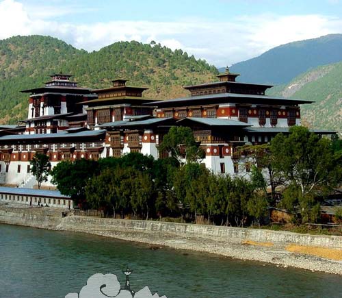
 From Wangduephodrang, the journey continues eastwards through Black Mountain region. The drive is relatively shorter and there are regular stops for birding and photography all along the way. The road finally leads to forest of oak and rhododendron and then broad Phobjikha valley which is one of the few glacial valleys in Bhutan. Because of large flock of black-necked cranes that winter here, this valley is one of the most important wildlife reserve in the country. The fascinating Gangtey village is sitting on the ridge overlooking the large green expanse of Phobjikha valley.
Day 6: Punakha - Wangduephodrang
 This stretch covers a range of habitat from tall, dense, evergreen forest characterized by moss and lichen, covered oak and rhododendron together with broad-leaved trees such as horse-chestnuts, laurels, maples and alders. At higher elevation, the composition changes perceptibly with conifers such as fir, spruce, larch, hemlock and juniper. Bamboo is another important habitat in this region, holding number of special but elusive species. It is not very prominent birding area but still few important species are visible such as : Himalayan Griffon (Gyps himalayensis), Himalayan Swiftlet (Collocalia brevirostris), Lammergeier (Gypaetus barbatus), Snow Partridge (Lerwa lerwa), Purple Cochoa (Cochoa purpurea), Scalybreasted Wren Babbler (Pnoepyga albiventer), Longtained Minivet (Pericrocotus ethologus), Himalayan Monal Pheasant (Lophophorus impejanus), Speckled Wood Pigeon (Columba hodgsonii) and Rufousbellied Bulbul (Hypsipetes mcclellandi).
Day 7: Wangduephodrang
 On this trip of 68 km, there is altitude variation from 2,100 m in Trongsa to Yotongla pass at 3,400 m and then descend to Bumthang valley at 2,600 m and the vegetation changes from temperate forests of Trongsa to coniferous and mixed alpine of Bumthang. Apart from being one of the most beautiful valleys of the kingdom, Bumthang is also the religious heartland of the nation. The ideal birding spots in this region are before Yotongla pass, farmland in the valleys and the riverside of Chamkhar Chhu river. Few birds of this area are : Goldcrest (Regulus regulus), Blyth-s Pipit (Anthus godlewskii), Common Sandpiper (Tringa hypoleucos), Little Bunting (Emberiza fucata), Redbilled Chough (Pyrrhocorax graculus) and Cormorant (Phalacrocorax carbo).
 Ura is the last and the highest valleys of Bumthang and to reach here, the road climbs through amazingly open countryside, occasionally running into forests. Large sheep pastures line the road and the route also crosses 3,600 m high Ura la pass and later descending into Ura by long loop across fields and pastures. Perched at an altitude of 3,100 m, Ura village has characteristically closed clustered houses which is quite unusual in Bhutan. The day is for exploring fascinating Ura valley and village. Overnight tented accommodation.
Day 9: Gangtok
 Leaving behind the relatively dry Ura valley, the route ascends through forests of gigantic firs, often with an understorey of rhododendron. The road for a few kilometres is precipitous in the extreme, with steep drops that reveal a landscape defying description, until the pass at Thrumshingla (3,750 m) is finally reached. From this highest pass in the country, the road descends to the village of Sengor, a tiny settlement of shingle roofs and lush fields. This village is also the home to these mountain-s most special bird, Monal Lophophorus Impejanus.
 From Limithang, the road reaches to its lowest point of 650 m at the bridge over Kuru Chhu river. The Chhorten at this point, was built in 1800, in Nepalese style of architecture to hold the precious religious objects of Shongar Dzong when the Dzong was abandoned in favour of other place, Mongar. Visit here, Mongar Dzong built at the beginning of 19th century. However the present structure dates from 1953, when it was formed on command of Bhutan's Third King, Jigme Dorji Wangchuck. Besides being the administrative centre of the region, it also houses the Drukpa monastic community.
Day 11: Trongsa
 After breakfast drive back to Mongar. Afternoon exploratory tour to Mongar town, local market. Overnight at the lodge.
 Morning drive to Bumthang arriving there by lunch time. After lunch, visit to Yatha weaving centre and local market. Overnight at the lodge.
Day 13: Bumthang
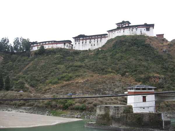
 After breakfast, drive to Thimphu enroute visiting village houses and mingling with local people. Lunch break at Wangduephodrang which is known for its majestic Dzong and its bamboo products, slate and stone carvings. After lunch, drive to Thimphu for overnight stay.
Day 14: Bumthang - Ura
 Morning drive to Paro airport for flight to onward destination.

